By Michelle Ndaga
The African Union (AU) has officially endorsed the “Correct the Map” campaign, an initiative pushing for the global replacement of the Mercator projection with the more accurate Equal Earth projection.
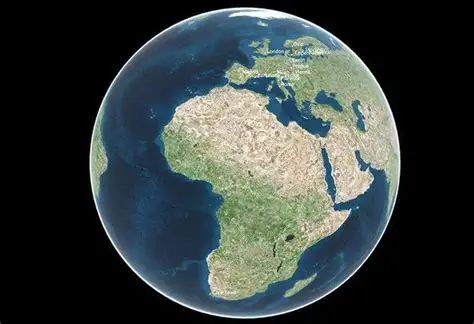
The campaign seeks to challenge a centuries old distortion in world maps. The Mercator projection, introduced in 1569 by Gerardus Mercator for navigation, vastly exaggerates the size of northern continents like Europe and Greenland making them appear up to 60% larger while compressing Africa, which at 30.37 million km² is the second largest continent. In reality, Africa can accommodate the United States, China, India, and much of Europe combined, yet appears smaller on conventional maps.
The Equal Earth projection, developed in 2018 by cartographers Bojan Šavrič, Bernhard Jenny, and Tom Patterson, preserves accurate landmass areas and eliminates the Eurocentric bias embedded in the Mercator model. Its scientific credibility has already been demonstrated in NASA’s global climate anomaly maps published the same year.
By supporting this shift, the AU is positioning Africa at the forefront of a global conversation on cartographic justice. Analysts note that the move resonates with wider debates on decolonizing knowledge systems, while also urging international bodies like the United Nations to update mapping standards. The endorsement signals a historic step towards restoring Africa’s true scale and global visibility both literally and symbolically.


