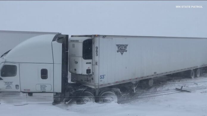
A powerful lake-effect snowstorm is blanketing the Great Lakes region, disrupting Thanksgiving travel and cutting power for thousands as it dumps several feet of snow in some areas.
The most extreme conditions are in Michigan’s Upper Peninsula and parts of Wisconsin, where narrow but intense snow bands have created whiteout conditions and treacherous roads. The National Weather Service reported staggering local totals, including 33 inches (84 cm) near Montreal, Wisconsin, and over 28 inches (71 cm) in parts of Michigan. A blizzard warning remains in effect for Alger County, Michigan.
Why the snow is so heavy and localized:
The storm is a classic lake-effect event, where cold Arctic air moves over the relatively warmer waters of the Great Lakes, sucking up moisture and forming intense, stationary snow bands. These bands can dump 2-3 inches of snow per hour, creating a dramatic difference in accumulation over short distances.
Impacts beyond travel:
The storm’s impacts extend beyond dangerous driving. Strong winds gusting up to 45 mph are causing power outages for over 1,000 customers and creating massive snow drifts. While this system is expected to ease by Friday, a new storm is already forecast to bring significant snow to the Great Plains and Midwest, including a potential six inches for Chicago, continuing a week of severe holiday weather.
By James Kisoo


