Written By Vanessa Kariuki ||
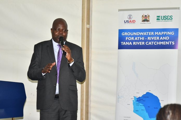
The Groundwater Mapping Phase II Kick-Off Meeting was held at the Windsor Hotel in Nairobi and was presided over by Sao Alima, Water Secretary for the Ministry of Water.
The Kenyan government, through the Ministry of Water, Sanitation, and Irrigation, and UNESCO, according to the water secretary, signed a memorandum of understanding to conduct the Kenya National Groundwater Mapping Program (KGMP) across the entire nation.
The program’s main goal was to conduct high resolution groundwater resource mapping and evaluation throughout the nation and identify regions with significant groundwater potential in order to improve the efficiency of managing the resource for development.
He emphasized how there are now 42 million more people served by the national water coverage, which was 53.3% in 2013 (27.7 Million People). In metropolitan areas, sewerage coverage rose from 22.1% to 32%.
He added that at World Water Day in Lodwar, the Ministry, in conjunction with other Development Partners, launched a report and the geospatial maps, which covered Turkana, Marsabit, and Wajir Counties under the Kenya Groundwater Mapping Programme (phase 1).
Phase II of the study will focus on the Tana and Athi drainage basins, which span seventeen counties, including Tana River, Mombasa, Kwale, Mombasa, Kilifi, and Taita Taveta. These counties include Nyandarua, Nairobi, Nyeri, Muranga, Kiambu, Kajiado, Machakos, Kitui, Embu, Meru, Garissa, and Tana River.


